| Location | Xinjiang Uyghur Autonomous Region, northwestern China |
| Area | Approximately 22,800 km² (8,800 sq mi) |
| Type | Sandy desert (erg desert) |
| Average Elevation | 800–1,200 m (2,600–3,900 ft) above sea level |
| Annual Rainfall | Less than 25 mm per year |
| Daytime Temperature | Up to 45°C (113°F) in summer |
| Nighttime Temperature | Can drop to -20°C (-4°F) in winter nights |
| Dune Height | Up to 100 m (328 ft) |
| Nearest Major City | Turpan (Turfan), approximately 100 km northwest |
| Neighboring Desert | Taklamakan Desert (directly adjacent to the west) |
| Wind Pattern | Dominant northwest winds sculpt crescent-shaped barchan dunes |
| Vegetation Cover | Below 5% of total surface area |
| Accessibility | Reachable via Turpan; limited road access into the interior |
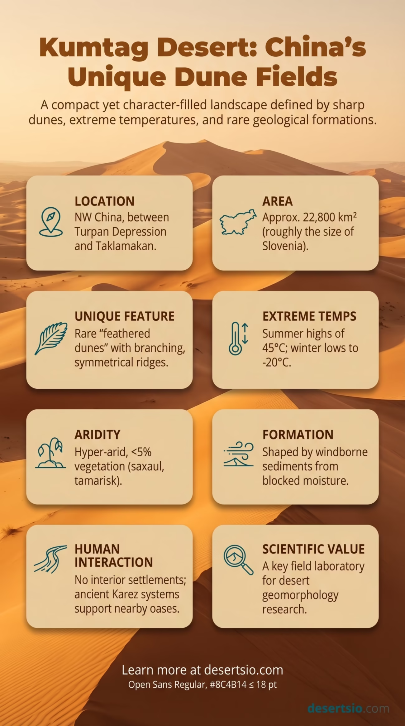
The Kumtag Desert sits at the edge of one of the world’s most geologically active dryland zones, wedged between the Turpan Depression and the vast Taklamakan basin. It is not the largest desert in Central Asia — not even close — but few sandy landscapes in the region pack as much character into such a compact area. Sharp dune ridges, intense temperature swings, and an almost total absence of water define this place. And yet, it draws researchers, geographers, and curious minds precisely because of how much it reveals about desert formation and the mechanics of aridity.
Kumtag Desert: Location and Map View
Where Exactly Is the Kumtag Desert?
The Kumtag Desert occupies the southeastern fringe of the Turpan Basin in Xinjiang, northwestern China. To its west lies the Taklamakan — one of the largest shifting sand deserts on Earth. The Flaming Mountains (Huoyan Shan), a jagged red sandstone range made famous in Chinese literature, form a rough northern boundary. To the south, the terrain rises toward the Altun Mountains.
The name itself comes from the Uyghur language: kum means “sand” and tag means “mountain.” So, quite literally — Sand Mountain Desert. It’s a name that earns its meaning the moment you see the dune walls rising from the basin floor.
How Big Is the Kumtag Desert?
At roughly 22,800 km², the Kumtag Desert is approximately the same size as New Hampshire and Vermont combined (USA). To put that another way — it is slightly larger than the entire country of Slovenia. Not enormous by desert standards, but in terms of dune density and terrain severity, size doesn’t tell the whole story here.
What makes the spatial scale interesting is how the desert interfaces with surrounding terrain. It doesn’t fade gently into grassland or scrubland — it ends abruptly, colliding with mountain ridges and oasis corridors. That abruptness is part of what makes Kumtag geographically distinct.
How the Kumtag Desert Formed
The Kumtag’s formation is tied directly to the tectonic and climatic history of Central Asia. The Tibetan Plateau began its dramatic uplift roughly 50 million years ago, and this geological process fundamentally blocked moisture-bearing winds from reaching the interior of the continent. The result: progressive aridification across the Tarim Basin and surrounding depressions, including the Turpan Basin — one of the lowest points on Earth’s surface at 154 meters below sea level.
As the basin dried, windborne sediments — carried from the Gobi and eroded from surrounding mountain ranges — accumulated over millennia. The dominant northwest wind regime shaped these sediments into the barchan and linear dune systems visible today. Dunes in parts of Kumtag can reach 100 meters in height, and they are active — meaning they shift measurably every year. Some dune fronts advance at rates of several meters per year under strong seasonal winds.
There is also a specific geological feature of note here: the feathered dunes (also called “fish-scale dunes”) found in certain sectors of Kumtag. These unusual formations — where smaller secondary dunes branch off a primary ridge at regular intervals — are rarely seen elsewhere on Earth, which has made this desert a site of active geomorphological research.
Temperature: A Desert of Extremes
The Kumtag Desert experiences some of the most dramatic diurnal (day-to-night) temperature swings found anywhere in Central Asia. The Turpan Basin as a whole is nicknamed “China’s Oven” — and the desert within it reflects that reputation fully.
- Summer daytime highs: Regularly reach 45°C (113°F); surface sand temperatures can exceed 70°C (158°F)
- Summer nighttime lows: Drop to around 20–25°C (68–77°F) — a swing of 20°C or more in a single night
- Winter daytime temperatures: Hovering around 0–5°C (32–41°F)
- Winter nighttime lows: Dropping to -20°C (-4°F) in the harshest months
- Annual temperature range: Over 65°C between the coldest and hottest recorded extremes
That range — 65°C across seasons — is not common even among extreme deserts. The Sahara’s Algerian interior comes close, but the Kumtag’s location in a topographic depression amplifies heat retention during summer and accelerates radiative cooling at night.
Flora and Fauna: Life at the Margins
Vegetation in the Kumtag is sparse — genuinely sparse. Less than 5% of the desert’s surface carries any plant cover. But the species that do survive here are worth knowing.
Dominant plant species include:
- Haloxylon ammodendron (saxaul tree) — a deep-rooted shrub capable of tapping groundwater meters below the surface; critical for dune stabilization
- Tamarix spp. (tamarisk) — salt-tolerant shrubs that colonize the edges of dry riverbeds and sandy plains
- Calligonum spp. — known locally as zhuzgan, produces dense branching stems and is one of the few plants able to anchor shifting sand
- Ephemeral grasses that germinate rapidly after rare rainfall events and complete their life cycle in weeks
Animal life is limited but not absent. The Bactrian camel (Camelus ferus) — the wild variety, not the domesticated one — is still recorded in nearby habitats along the Kumtag-Taklamakan boundary. The population of wild Bactrian camels globally is estimated at fewer than 1,000 individuals, making any confirmed sighting ecologically significant. Goitered gazelles (Gazella subgutturosa) also range through the transitional zones. Reptiles, particularly sand lizards and several viper species adapted to hyper-arid conditions, are present year-round.
Migratory birds use the desert edges seasonally — following the corridor between the Tarim River basin and the Turpan oases. And raptors, particularly rough-legged hawks and saker falcons, hunt over the open dune fields.
Human Life in and Around the Kumtag
The desert interior itself is uninhabited. No permanent settlements exist within the Kumtag’s sandy core. The sheer hostility of the environment — no reliable water, extreme heat, no roads — makes sustained human presence essentially impossible without external support.
But the edges of the Kumtag tell a different story.
The Turpan oasis system — fed by the ancient karez (qanat) irrigation channels — has supported human civilization on the desert’s doorstep for over 2,000 years. Karez are underground channels dug by hand to transport snowmelt from mountain slopes to valley floors without evaporation loss. There are reportedly more than 1,600 karez channels still functioning in the Turpan region, some dating back to the Han Dynasty. This is one of the most sophisticated traditional water management systems ever developed in an arid landscape.
The Uyghur people have historically inhabited the Turpan Basin — farming grapes, melons, and cotton in the irrigated zones while the desert itself remained beyond reach. Seasonal herders, primarily with sheep and camels, have traditionally grazed the transitional scrublands bordering the Kumtag. These patterns continue today, though in reduced form.
The Feathered Dunes — A Rare Geological Phenomenon
Among geomorphologists, the Kumtag Desert is perhaps best known for its feathered dune structures. These formations — where lateral ridges branch symmetrically from a central dune spine, resembling a fish skeleton or a feather — are exceptionally rare worldwide.
Research published in recent decades has focused on how these dunes form. The leading explanation involves bidirectional wind regimes: primary northwest winds build the central ridge, while secondary cross-winds carve the branching arms. The result is geometrically striking — and scientifically puzzling enough that the Kumtag has attracted research teams from Chinese and international universities studying aeolian (wind-driven) processes.
Drone-based topographic surveys conducted in the 2020s have produced new high-resolution maps of the feathered dune fields, revealing that individual dune systems can span several kilometers in length. This has refined earlier estimates of their scale significantly.
Neighboring Deserts: A Region of Overlapping Arid Systems
The Kumtag doesn’t exist in isolation. It is part of a broader arid corridor that stretches across Central and East Asia — one of the most extensive dryland regions on the planet.
| Desert | Location | Area | Relation to Kumtag |
| Taklamakan Desert | Xinjiang, China | ~337,000 km² | Directly adjacent to the west; shares dune sediment sources |
| Gobi Desert | Mongolia / northern China | ~1,300,000 km² | To the northeast; contributes windborne sediments to Kumtag |
| Gurbantünggüt Desert | Northern Xinjiang, China | ~48,800 km² | Sister desert within Xinjiang; more stabilized, semi-fixed dunes |
| Lop Desert | Eastern Xinjiang, China | ~53,000 km² | Adjacent to the east; includes Lop Nor dry lakebed |
The Taklamakan, immediately to the west, is the natural reference point for comparison. It is roughly 15 times larger than the Kumtag and far more studied. But the two deserts share sediment transport systems — sand from the Taklamakan moves eastward under prevailing winds and contributes to dune-building in Kumtag. They function, in some respects, as a single connected aeolian system broken by geography.
The Lop Desert to the east is also worth noting — it encompasses the former Lop Nor lakebed, a dried-up lake that once held significant water before the Tarim River shifted course. Lop Nor’s desiccation over the 20th century is a well-documented case of human-influenced and climate-driven desertification, and it stands as a stark regional example of how quickly arid systems can expand.
Desertification and the Expanding Sand Front
China has invested heavily in combating desertification across its northwest — and the Kumtag region sits within that broader effort. The Three-North Shelter Forest Program (often called the “Great Green Wall of China”), launched in 1978 and still ongoing, aims to plant billions of trees across northern China to stabilize sand. By the 2020s, China had planted over 66 billion trees as part of various afforestation campaigns — the largest such effort in history.
Locally, saxaul tree planting along Kumtag’s advancing dune fronts has shown measurable results in slowing sand encroachment on agricultural land near Turpan. Sand dune advance rates in some monitored sectors have decreased from over 10 meters per year to under 3 meters per year following stabilization planting efforts.
And yet, climate projections suggest that aridity across the Tarim Basin may intensify over the coming decades. Glacial meltwater feeding the Tarim River system — which supplies oasis agriculture — is declining as Tibetan Plateau glaciers recede. Less water reaching the basin’s interior means reduced vegetation buffers and a potentially more active desert system. The Kumtag, in that context, is not a static landscape. It is dynamic, responsive, and closely watched.
Scientific and Research Significance
Beyond its geological curiosities, the Kumtag has emerged as a field laboratory for desert science. Studies conducted here contribute to understanding of:
- Aeolian sediment transport and dune morphodynamics
- Biological soil crust formation in hyper-arid environments
- Water harvesting and traditional irrigation system sustainability
- Animal adaptation strategies in extreme thermal environments
- Remote sensing and satellite-based dune monitoring techniques
Several Chinese universities — including Lanzhou University, which houses one of Asia’s leading desert research centers — have used Kumtag sites for field research. The desert is also relevant to planetary science: its dune structures are sometimes studied as analogs for Martian aeolian features, where wind-sculpted landforms share striking similarities with those found on Earth’s most extreme dryland surfaces.
The Kumtag Desert is compact by global standards — but it carries an outsized scientific footprint. Its feathered dunes remain one of the most studied rare geomorphological features in the dryland sciences. And its position at the junction of multiple arid systems makes it a bellwether for understanding how Central Asia’s desert landscapes respond to both natural variability and the accelerating pressures of climate change.