| Location | Western Australia, Australia |
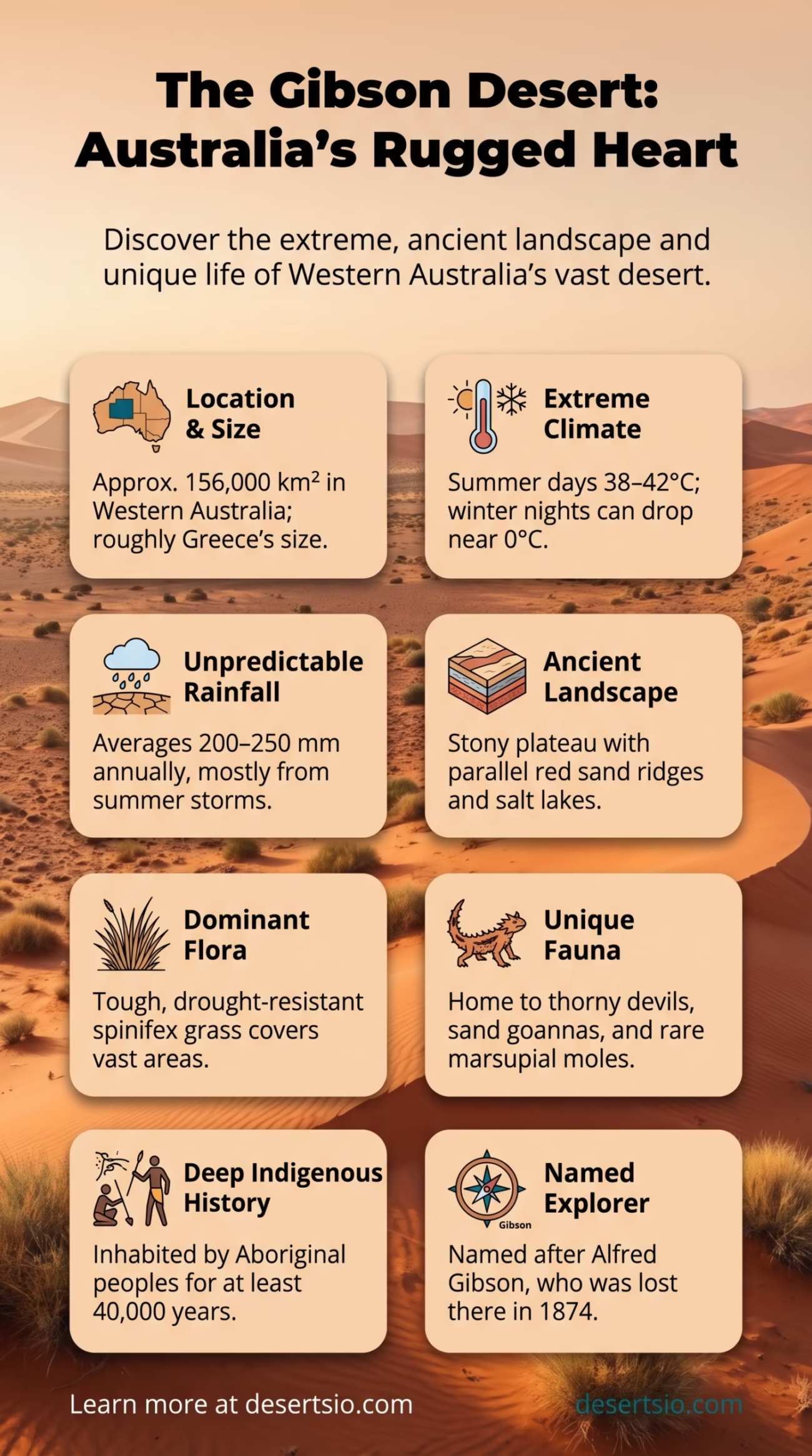
| Area | Approximately 156,000 km² (60,000 sq mi) |
| Type | Hot Sandy Desert |
| Average Elevation | 400–500 m (1,300–1,640 ft) above sea level |
| Annual Rainfall | 200–250 mm (7.9–9.8 in) |
| Average Daytime Temperature | 32–38°C (90–100°F) in summer |
| Average Nighttime Temperature | 5–10°C (41–50°F) in winter nights |
| Coordinates | 24°S, 124°E (approximate center) |
| Surrounding Deserts | Great Sandy Desert (north), Great Victoria Desert (south), Little Sandy Desert (northwest) |
| Named After | Alfred Gibson, explorer lost here in 1874 |
| Dominant Vegetation | Spinifex grass, mulga scrub, desert oak |
| Nearest Major Town | Alice Springs (~600 km northeast) |
| Indigenous Peoples | Mandjildjara, Pintupi, Ngaanyatjarra peoples |
| Conservation Status | Gibson Desert Nature Reserve (protected area) |
The Gibson Desert sits in the heart of Western Australia — not the most famous of Australia’s desert regions, but arguably one of the most raw. It occupies roughly 156,000 square kilometers, which places it somewhere between the size of Greece and Bangladesh. It doesn’t make headlines the way the Sahara does. And that’s exactly what makes it worth knowing.
- Gibson Desert: Location and Map View
- How Big Is the Gibson Desert — Really?
- Formation: How Did the Gibson Desert Form?
- Temperature: The Extremes Are Real
- Flora and Fauna: Life That Refuses to Quit
- Human Life in the Gibson Desert
- The Desert That Claimed Its Namesake
- Gibson Desert Nature Reserve
- Neighboring Deserts: A Desert Cluster Unlike Anywhere Else
- Comparing the Gibson: Similar Deserts Worldwide
- The Gibson Desert in a Warming World
Stretching across the interior of Western Australia, the Gibson is flanked on nearly every side by other major desert systems — the Great Sandy Desert to the north, the Great Victoria Desert to the south, and the Little Sandy Desert to the northwest. In other words, you’re looking at a deeply landlocked, layered desert complex with almost no break in aridity for hundreds of kilometers in any direction.
Gibson Desert: Location and Map View
How Big Is the Gibson Desert — Really?
At 156,000 km², the Gibson Desert is larger than the entire country of Greece (131,957 km²) and only slightly smaller than Tunisia. For a North American comparison, it’s roughly the size of the state of Georgia. It covers a substantial portion of the Murchison and Gascoyne regions of inland Western Australia.
Despite this scale, it is not a sweeping sea of dunes like the Rub’ al Khali. The Gibson is largely a stony and sandy plateau, broken by spinifex plains, shallow salt lakes, and occasional low ridges. There are dunes — long, parallel red-orange sand ridges — but they’re interspersed with rocky plains and dry creek beds (called watercourses or locally known as creeks that only run after rare rains).
Formation: How Did the Gibson Desert Form?
The geological story here goes back hundreds of millions of years. The Australian continent has been tectonically stable for an extraordinarily long time — far longer than most other continental landmasses. This stability allowed deep weathering and erosion to strip away softer rock layers over eons, leaving behind the ancient, iron-rich laterite surfaces and red sandy soils that define the Gibson today.
Around 15–20 million years ago, Australia’s interior began drying significantly as global climate patterns shifted and the continent drifted northward. The gradual northward movement cut off southern moisture patterns. Over the past 2–3 million years — through repeated glacial and interglacial cycles — the region oscillated between wetter and drier phases, but the overall trend was toward increasing aridity.
The sand dunes were formed and shaped by prevailing westerly and southwesterly winds, which pushed sand into long parallel ridges running roughly east-west. Today, those ridges are largely stable — held in place by vegetation — rather than actively migrating like dunes in some other hot deserts.
Temperature: The Extremes Are Real
Summer days in the Gibson Desert regularly reach 38–42°C (100–108°F). Ground surface temperatures can exceed 70°C on exposed rock and sand — hot enough to cause burns on unprotected skin in seconds. Yet the same desert, in the depths of an Australian winter (June–August), can drop to near 0°C at night, with occasional ground frost recorded in the most elevated areas.
The diurnal temperature range — the difference between daytime highs and nighttime lows — regularly exceeds 20°C (36°F) and can push toward 30°C during dry, cloudless winter periods. This kind of thermal swing is one of the defining physical characteristics of arid environments with low atmospheric humidity.
Annual rainfall averages between 200 and 250 mm, most of it falling unpredictably during summer thunderstorms. The unpredictability matters as much as the quantity — a single storm can dump the entire annual average in a few hours, then nothing for months.
Flora and Fauna: Life That Refuses to Quit
The dominant plant across the Gibson is spinifex (Triodia spp.) — a spiny, hummock-forming grass that covers vast areas of Australia’s arid interior. It’s not exactly lush. But spinifex is remarkably well-adapted, storing moisture, providing shelter for small reptiles and insects, and even enriching the soil through its root systems.
Other notable vegetation includes:
- Mulga (Acacia aneura) — a hardy wattle shrub that forms dense scrublands in areas with slightly better soil moisture
- Desert oak (Allocasuarina decaisneana) — a slow-growing, deeply rooted tree often found on sandy plains
- Bloodwood (Corymbia spp.) — eucalyptus relatives with distinctive red resin, important food and shelter sources for wildlife
- Grevillea and hakea species — flowering shrubs that support honeyeater bird populations
Fauna is where the Gibson genuinely surprises. The desert supports an impressive array of reptiles — Australia is home to the world’s highest diversity of lizard species, and the Gibson contributes substantially to that count.
Key animal species include:
- Thorny devil (Moloch horridus) — perhaps the most iconic Gibson Desert reptile, feeding almost exclusively on small black ants
- Sand goanna (Varanus gouldii) — an active, large monitor lizard capable of running on its hind legs
- Marsupial mole (Notoryctes typhlops) — one of the most rarely seen mammals on Earth, spending virtually its entire life underground
- Bilby (Macrotis lagotis) — the desert-adapted bandicoot with oversized ears and a nocturnal lifestyle
- Rufous hare-wallaby and malleefowl — both present in reduced numbers due to historical habitat pressures
Bird life is richer than the landscape suggests. Budgerigars in enormous flocks, zebra finches, wedge-tailed eagles, and several species of cockatoo are all recorded across the region. After rare rainfall events, the desert briefly transforms — wildflowers carpet the ground, and bird populations spike dramatically as food and water become temporarily abundant.
Human Life in the Gibson Desert
The Gibson has been home to Aboriginal Australians for at least 40,000 years — and possibly much longer. The Mandjildjara, Pintupi, and Ngaanyatjarra peoples hold deep cultural, spiritual, and practical connections to this landscape. Their traditional knowledge of waterholes (soakages in local parlance), seasonal plant foods, and animal behavior enabled sustainable habitation in conditions that most outsiders would consider impossible.
The Pintupi people, in particular, became widely known after the 1984 encounter with a small family group — the so-called “Pintupi Nine” — who had been living entirely traditionally in the western Gibson, completely unaware of the outside world. It remains one of the most remarkable documented cases of isolated desert habitation in the modern era.
Today, the Gibson Desert has a very small permanent human population. Communities such as Papunya, Kiwirrkurra, and Warakurna are found in and around the desert’s edges, with populations numbering in the hundreds. These communities maintain strong connections to traditional land practices while also engaging with contemporary Australian society.
The Desert That Claimed Its Namesake
The Gibson Desert carries the name of Alfred Gibson, a young explorer who disappeared here in April 1874 during Ernest Giles’s second expedition into the Australian interior. Gibson was sent back for help after horses failed, got disoriented, and was never seen again. Giles — who survived — named the desert in his memory. It’s a somber origin for a place that already commands respect.
And here’s something worth noting: the desert had been navigated by Aboriginal people for millennia before European explorers arrived. Gibson’s tragedy was, in large part, a failure to understand a landscape that Indigenous Australians knew intimately.
Gibson Desert Nature Reserve
A significant portion of the Gibson Desert is protected under the Gibson Desert Nature Reserve, gazetted in 1977. The reserve covers approximately 18,978 km² — roughly 12% of the total desert area. It is one of the largest nature reserves in Australia and is managed by the Western Australian Department of Biodiversity, Conservation and Attractions.
Access is extremely limited. There are no sealed roads into the core of the reserve. The Gunbarrel Highway — more of a rough track than a highway, honestly — crosses the northern part of the desert, and even experienced four-wheel-drive travelers treat it with serious caution. Fuel and water must be carried for hundreds of kilometers.
Neighboring Deserts: A Desert Cluster Unlike Anywhere Else
Australia’s desert interior is not a single desert — it’s a mosaic of interconnected arid systems. The Gibson sits at the center of one of the densest clusters of named deserts on Earth.
| Desert | Position Relative to Gibson | Area | Notable Feature |
| Great Sandy Desert | North | ~267,250 km² | Australia’s second-largest desert; large active dune fields |
| Great Victoria Desert | South | ~424,400 km² | Australia’s largest desert; straddles WA and SA border |
| Little Sandy Desert | Northwest | ~111,500 km² | Transitional zone between Gibson and Great Sandy |
| Tanami Desert | Northeast | ~184,500 km² | Slightly higher rainfall; significant gold deposits |
Together, these deserts form part of the Australian Desert Complex — covering roughly 1.5 million km² of the continent’s interior, or about 18% of Australia’s total land area. The Gibson is not the largest, but it’s arguably the most geographically central in this system.
Comparing the Gibson: Similar Deserts Worldwide
In character and origin, the Gibson Desert draws some interesting comparisons with the Kalahari Desert in southern Africa. Both are ancient, geologically stable desert systems on old continental shields. Both support more biodiversity than their aridity might suggest. And both have long histories of continuous human habitation by Indigenous peoples with deep environmental knowledge.
The comparison isn’t perfect — the Kalahari receives more rainfall (250–500 mm annually in parts) and is technically more of a fossil desert than a true hyperarid zone. But the ecological resilience and the cultural depth of human occupation are strikingly parallel.
A second comparison worth making: the Arabian Rub’ al Khali shares the Gibson’s red-sand dune morphology and extreme summer temperatures. The visual similarity is striking in aerial photography — long, parallel dune ridges, oxidized red sand, vast unbroken stretches. But the Rub’ al Khali is far more hyperarid (annual rainfall often below 35 mm), far larger (~650,000 km²), and biologically far more impoverished.
The Gibson Desert in a Warming World
Australia’s arid interior is changing. Mean annual temperatures across the Gibson Desert region have risen by approximately 1.4°C since 1910, consistent with broader Australian warming trends documented by the Australian Bureau of Meteorology. Rainfall variability is also increasing — not necessarily less rain, but more concentrated, more extreme events punctuating longer dry periods.
For the desert’s ecosystems, this matters. Invasive species — particularly feral cats, foxes, and introduced grasses like buffel grass (Cenchrus ciliaris) — are among the most significant ongoing ecological pressures. Buffel grass, introduced for erosion control decades ago, now outcompetes native spinifex in disturbed areas and dramatically alters fire regimes. It burns hotter and more frequently than native vegetation systems evolved to handle.
Conservation efforts led by both government agencies and Indigenous land managers focus on controlled burning (traditional fire management called cultural burning), feral animal control, and monitoring of threatened species like the bilby and the malleefowl.
The Gibson Desert is remote, austere, and largely inaccessible. But it represents something genuinely rare — a desert system that has remained structurally intact, ecologically functional, and culturally significant for tens of thousands of years. That’s not nothing. That’s actually extraordinary.
