Deserts are often explained with a single number: 250 mm of annual precipitation (about 10 inches). That’s the popular cutoff. Still, real “desert-ness” acts more like a water budget than a simple rain tally, so the best answer has a little nuance baked in.
- So… what rainfall number usually defines a desert?
- Quick reference: rainfall labels you’ll see a lot
- Why rainfall alone can fool you
- Rainfall details that matter
- Water losses that crank up aridity
- The more scientific answer: the Aridity Index
- Common AI bands (simple version)
- What “rainfall” really means in desert definitions
- Desert edge cases that make the question tricky (and fun)
- If you need a practical definition for a guide, map, or school project
- A handy one-liner you can reuse
- Fast myth check
- Mini glossary (because desert terms get slippery)
So… what rainfall number usually defines a desert?
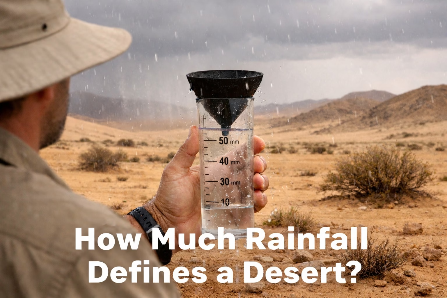
If you want the clean, classroom-friendly rule, it’s this: a true desert typically gets under 250 mm of precipitation per year. That precipitation might be rain, snow, or even mist—the key is the total yearly water falling from the sky.
Right next door to that boundary is the “almost desert” zone. Many references place semi-arid land around 250–500 mm per year. It can look scrubby, grassy, and open—think steppe vibes rather than classic sand-sea vibes.
Quick reference: rainfall labels you’ll see a lot
| Zone label | Typical annual precipitation | What it often feels like |
|---|---|---|
| Extremely arid | Very close to “nothing” for long stretches; some definitions focus on months without rain | Dry air, wide open ground, plants are rare and very tough |
| Arid | Under 250 mm | Short rainy moments, long dry gaps, lots of bare soil or rock |
| Semi-arid | 250–500 mm | More grasses and shrubs; “dryland” more than “desert” |
Small but important detail: these are common ranges, not a single universal law. Different textbooks and datasets tweak the edges.
Why rainfall alone can fool you
Here’s the twist: 250 mm doesn’t always “behave” the same way. A place that gets 250 mm in a few intense storms can still look and feel very desert, because water runs off fast, then disappears. Another place might get the same total as gentle drizzle, and plants can sip it slowly.
Also, dryness isn’t just about what comes in. It’s about what leaves. Heat, wind, strong sun, and thirsty air can pull moisture out of soil and plants like a giant invisible straw. That’s why two regions with similar rainfall can have totally different landscapes.
Rainfall details that matter
- Timing: one wet month vs scattered showers all year
- Intensity: gentle rain soaks in; downpours race away
- Reliability: predictable seasons vs “maybe rain, maybe not”
- Form: snow, mist, and fog drip can count too
Water losses that crank up aridity
- Potential evapotranspiration (how fast water could evaporate)
- Wind that strips moisture from the surface
- Low humidity that speeds up drying
- Thin soils that can’t hold water long
Think of rainfall as income and evaporation as expenses. A desert isn’t just “low income.” It’s a place where the expenses usually win.
The more scientific answer: the Aridity Index
When researchers want a clearer line than “under 250 mm,” they often use an Aridity Index. The basic idea is simple: compare precipitation to potential evapotranspiration (how much water the atmosphere would pull out if it could).
You’ll see it written like this: AI = P / PET. Lower AI means drier. It’s a neat way to capture why a cool, windy plateau and a blazing hot basin can’t be judged by rainfall alone.
Common AI bands (simple version)
These bands show up a lot in dryland mapping. They’re handy if you’re comparing regions, building a guide, or doing a quick climate classification.
| Aridity class | Aridity Index (P/PET) | Plain-English feel |
|---|---|---|
| Hyper-arid | < 0.05 | “Almost no moisture sticks around” |
| Arid | 0.05 – 0.20 | Dry most of the time; plants are spaced out |
| Semi-arid | 0.20 – 0.50 | Dryland; shrubs and grasses do better |
| Dry sub-humid | 0.50 – 0.65 | Not desert, but can feel dry in parts of the year |
Why this helps: AI bakes in thirsty air and sun power, not just rain totals. It’s a more honest measurment of dryness.
What “rainfall” really means in desert definitions
When someone says “annual rainfall”, they usually mean the annual precipitation total averaged over many years. One year can be weird. Desert climates are famous for that. A dry place might get one big storm and still spend most days in dry silence.
Another sneaky detail: precipitation is measured at points (rain gauges), yet deserts can change fast over short distances. A mountain ridge can catch moisture while a nearby basin stays parched. Same region, very different water story. That’s why maps rely on networks, models, and long-term averaging, not a single bucket in a single spot.
Does fog count as precipitation?
In many contexts, yes—at least indirectly. Fog and mist can add moisture through condensation on plants and rocks, sometimes called occult precipitation. It may not show up as “rainfall” in the way people imagine, yet it can support surprising life in very dry places.
Desert edge cases that make the question tricky (and fun)
Some deserts break the stereotype without breaking the definition. That’s why the question “how much rain?” is helpful, but not the full picture.
- Coastal fog deserts: very low rain, yet regular fog can keep ecosystems going.
- Cold deserts: low precipitation plus cold temps; snow can be part of the yearly total.
- Rain-shadow deserts: mountains block moist air, leaving a dry zone behind them.
- Seasonal-rain deserts: short wet season, long dry season—plants sprint, then rest.
If you need a practical definition for a guide, map, or school project
If you’re trying to label places correctly (and not just vibe it out), use a two-step approach. It stays simple, yet it respects reality.
- Start with precipitation: under 250 mm/year is a strong desert signal.
- Check the water balance: add AI (P/PET) if you can. Low AI strengthens the call.
- Scan the land cover: sparse vegetation and exposed ground often match arid conditions.
- Look at seasonality: one wet burst can hide long dry periods in annual totals.
A handy one-liner you can reuse
A desert is usually under 250 mm of yearly precipitation, and it stays desert-dry because water loss tends to beat water gain.
Fast myth check
Desert talk gets dramatic. Let’s keep it accurate and friendly, with no drama.
- Myth: Deserts never get rain. Reality: they do—just not much, and not often.
- Myth: All deserts are hot. Reality: some are cold, yet still very dry.
- Myth: Sand equals desert. Reality: many deserts are rocky, gravelly, or crusted soil.
- Myth: One rainy year means “not a desert.” Reality: definitions use long-term patterns.
Mini glossary (because desert terms get slippery)
Precipitation: water that falls from the sky (rain, snow, hail, mist). PET: the atmosphere’s “drying power” if water is available. Aridity Index: a ratio that compares the two. Steppe: semi-arid grassland, often near desert margins.
