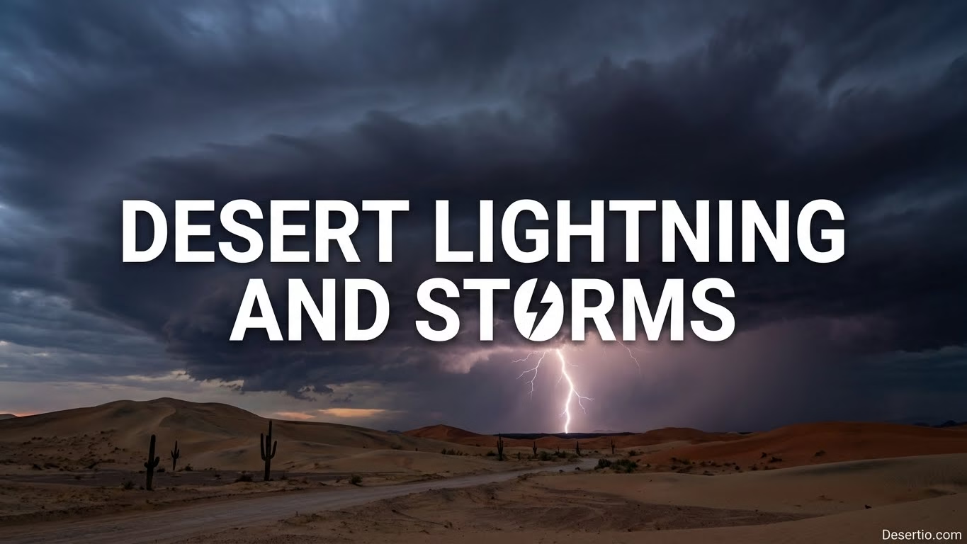
Desert skies can look quiet and wide-open, then suddenly crackle with desert lightning and fast-moving storm cells. It’s the kind of weather that feels like a stage trick—one minute a clean blue backdrop, the next minute a roaring drumline of thunder and wind.
- Quick Desert Storm Snapshot
- Why Desert Storms Feel Different
- What Makes Desert Lightning Pop
- How The Storm Body Behaves
- How Desert Thunderstorms Build
- Dry Lightning, Virga, And The Smell Of Rain
- Dust, Gust Fronts, And Haboobs
- Common Storm Features You Can Spot
- When And Where Desert Lightning Peaks
- Staying Safe Without Overthinking It
- A Simple Desert Storm Checklist
- What Lightning Looks Like In Desert Air
- For Photographers And Curious Minds
- Better Viewing Habits
- Small Science Moments
- Tiny Myths That Won’t Quit
- Desert Storm Seasons Without The Jargon
Quick Desert Storm Snapshot
Keep these basics in your pocket: desert thunderstorms can be short, electric, and surprisingly wet in one spot while staying bone-dry a few miles away.
- Lightning often strikes from storms with high bases and dry air underneath.
- Rain may fall as virga—it evaporates before reaching the ground.
- Wind can arrive first as a gust front, kicking up dust like a curtain.
- Flash flooding can happen even when the sky overhead looks clear.
Why Desert Storms Feel Different
A lot of deserts heat up fast, and that heat acts like a hidden elevator for air. Warm air rises, cool air sinks, and the whole atmosphere starts to shuffle. Add a little moisture (sometimes not much at all), and you can get a tall thundercloud built on a dry foundation—one of the atmospheric setups behind many desert storm patterns across arid landscapes.
Because the lower air can be very dry, falling raindrops may shrink on the way down. That evaporation cools the air, making it heavier, so it drops as a burst of wind. That’s why a desert storm can feel like someone opened a giant cooler door in the sky.
What Makes Desert Lightning Pop
Lightning loves contrast: rising warm air and sinking cool air collide inside the cloud. Tiny ice, graupel, and droplets bump around, building charge. Once the electric pressure is high enough, the air stops insulating and—snap—lightning.
In many deserts, storms have high cloud bases. That can mean more cloud-to-ground action, because the storm’s electrical pathways aren’t “diluted” by steady, soaking rain underneath.
How The Storm Body Behaves
Desert thunderstorms can be compact and punchy. One drainage can get a brief downpour while the next stays dry. That uneven pattern matters for travel, hiking, and any place where water can funnel fast.
Outflow winds can push dust ahead of the rain like a rolling wall. It’s dramatic, it’s beautiful, and it can also make visibility drop quickly—especially on open flats.
How Desert Thunderstorms Build
Think of a desert storm as a quick recipe with a few must-have ingredients: heat, a bit of moisture, and a trigger like terrain or shifting winds. When those line up, clouds can grow faster than you’d expect in such a dry place.
- Heating phase: Sun-warmed ground boosts thermals, lifting air into cooler layers where water vapor can condense.
- Cloud tower phase: Updrafts stack moisture upward, forming cumulus that can turn into cumulonimbus.
- Charge phase: Ice and graupel collisions separate positive and negative zones, building electric tension.
- Outflow phase: Evaporation beneath the storm cools air, producing downdrafts and gust fronts.
- Fade or repeat: Some storms collapse in minutes; others regenerate if the air stays unstable and fed.
Dry Lightning, Virga, And The Smell Of Rain
Dry lightning is exactly what it sounds like: lightning with little or no measurable rain at the surface. Often, the storm is raining aloft, but the lower air is so dry that drops evaporate on the way down. The visual clue is virga—those wispy streaks hanging under the cloud like soft brush strokes.
That famous “rain smell” can still show up even when the ground stays mostly dry. Wind can carry petrichor-like scents from damp dust and nearby wet patches. It’s a little like catching the aroma of food from a kitchen you’re not even standing in—close, but not here.
Tip: If you see virga plus a dark base, expect wind shifts and rapid temperature drops before you ever feel a raindrop.
Dust, Gust Fronts, And Haboobs
A common desert storm feature is the arrival of a gust front, the leading edge of cooler outflow air spreading away from a storm. When this outflow moves across loose soil, it can lift fine particles into a dense dust cloud that advances along the surface.
A large, dense dust front is often called a haboob. It’s not a different “kind” of storm—more like a dramatic special effect created by wind and dry ground. Dust can make the sky turn sepia and flatten the landscape into silhouettes. If you’re on the move, the key is to treat it like fog made of sand: slow down, keep breathing easy, and give yourself space.
Common Storm Features You Can Spot
| Feature | What You Might Notice | Why It Matters |
|---|---|---|
| High Base | Dark cloud with lots of air below it | More lightning risk even before rain arrives |
| Virga | Rain streaks that fade mid-air | Strong winds and sudden cooling underneath |
| Gust Front | Wind shift, dust plume, temperature drop | Visibility can fall; loose gear gets tossed |
| Microburst | Quick blast of wind that feels heavy | Hazard for open terrain, tents, and small boats on desert lakes |
| Localized Downpour | A narrow column of intense rain | Flash flooding in washes and canyons |
When And Where Desert Lightning Peaks
Desert lightning often peaks during seasons when moisture can sneak in—sometimes from nearby seas, sometimes from shifting regional wind patterns. In many hot deserts, late afternoon into evening is prime time because the ground has had all day to heat the lower atmosphere and load it with energy.
Topography can act like a storm magnet. Mountains near desert basins force air upward, helping clouds grow. You can get a storm brewing over higher terrain while the flats stay sun-baked. Then the outflow spreads, and suddenly the “calm” basin is dealing with lightning and gusty winds.
Some deserts also host “dry” storm days where you see frequent cloud-to-ground strikes with only spotty rain. If you’re planning a hike, a climb, or a long drive across open ground, that’s the kind of day to keep your sky awareness turned up.
Staying Safe Without Overthinking It
Lightning safety in the desert is mostly about timing and position. Big, open spaces can trick you into feeling far from danger, but lightning doesn’t need to land right on the storm core. Treat it like a long-distance athlete—it can reach farther than you’d guess.
A Simple Desert Storm Checklist
- Watch the base: If the cloud base darkens and you hear any thunder, treat lightning as “close enough.”
- Choose shelter wisely: A hard-topped vehicle is usually a safer spot than a lone tree, a ridge, or an open flat.
- Get off high points: Ridges, dunes, and rock spines are scenic—also exposed.
- Respect washes: Dry channels can fill quickly. Avoid camping in them, and don’t cross moving water.
- Manage dust: If a dust wall hits, slow down, increase following distance, and keep breathing calm and steady.
One more thing: dry air can make static feel extra intense. That “hair standing up” sensation is a serious clue. If it happens, move to a safer spot right away—the atmosphere is getting electricity-rich.
What Lightning Looks Like In Desert Air
Desert air can be so clear that lightning appears extra sharp, like someone drew it with a bright pen on a clean page. Cloud-to-ground bolts can look thicker than you’re used to, and branchy patterns are easier to see when there’s less haze.
People sometimes call distant flashes “heat lightning,” but it’s just normal lightning that’s too far away for you to hear the thunder. In dry areas, sound can behave oddly—wind and terrain can hide thunder even when the storm is active. So if you see repeated flashes, treat it as real lightning, not a harmless light show.
For Photographers And Curious Minds
Desert storms are a dream for anyone who loves patterns: dust curls, layered clouds, and sudden sunbeams cutting through rain shafts. The best approach is to keep your curiosity high while keeping your risk low.
Better Viewing Habits
- Pick a spot with a wide view and an easy retreat to a safer shelter.
- Watch for outflow winds; they can carry dust that scratches lenses and stings eyes.
- If you’re using a tripod, avoid becoming the tallest thing on the scene—stay low-profile.
Small Science Moments
- Notice how temperature shifts before rain: a cool push often signals a gust front.
- Look for anvil shapes: a spreading top can mean strong upper winds and mature thunderclouds.
- Track storm movement with cloud shadows; it’s a simple way to “read” storm direction.
Tiny Myths That Won’t Quit
Myth: “If it’s not raining on me, lightning can’t hit me.” Reality: Lightning can strike miles from the rainfall core, especially with high-based storms. If you see frequent flashes, treat the area as active.
Myth: “Deserts don’t get real storms.” Reality: Desert storms can be brief but intense, with punchy wind and localized downpours. The atmosphere doesn’t care that the ground is dry; it cares about energy and moisture.
Myth: “That flash with no thunder is harmless.” Reality: Distant lightning is still lightning. Wind and terrain can bend sound around you, so keep your storm sense sharp.
Desert Storm Seasons Without The Jargon
Some desert regions have a midsummer pattern where moisture increases and afternoon storms show up more often. Other deserts get most of their action in cooler months when larger weather systems bring organized clouds. Either way, the clue is the same: when you notice more humidity, taller clouds, and a shifting breeze, the odds of a thundersorm day go up.
If you want a simple habit that pays off, try this: scan the horizon every so often. Desert storms often announce themselves with anvils, dark bases, and a dust line racing out ahead. Catching those early gives you time, and time is the most useful safety tool you can carry.
