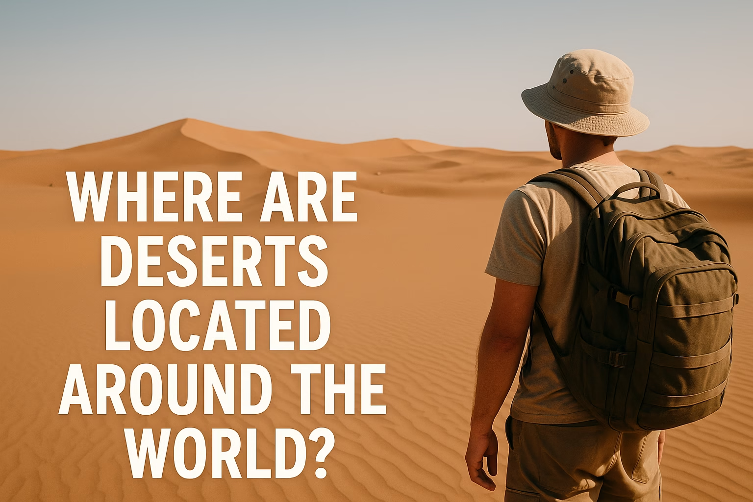
How Deserts Are Spread Around the Globe
Deserts cover huge slices of our planet, stretching from the blazing Sahara to the frozen heart of Antarctica. What they share is not endless sand, but very low rainfall, which shapes every part of life in these tough enviroments.
- How Deserts Are Spread Around the Globe
- Main Desert Belts by Latitude
- Subtropical Hot Deserts (15°–35° N & S)
- Coastal Deserts (West Coasts)
- Mid-Latitude & Continental Interior Deserts
- Polar Deserts
- Desert Regions by Continent
- Africa
- Asia
- Australia & Oceania
- North America
- South America
- Europe
- Polar Regions
- Quick Reference Table: Major Deserts and Their Locations
- Why Do Deserts Form in These Places?
- How to Read a World Map for Deserts (Quick Guide)
If you look at a world map, you’ll notice that deserts are not random. They cluster in a few main belts and regions, especially around 15°–35° north and south of the Equator, deep inside continents, along certain coasts, and near the icy poles.
Main Desert Belts by Latitude
Most of the world’s hot deserts sit in broad bands between about 15° and 35° latitude, north and south of the Equator. Here, sinking dry air and clear skies make rainfall rare, so landscapes slowly turn into arid and semi-arid zones.
Other desert regions form far from oceans, behind high mountain chains, or even around the polar caps. Put together, these areas create a patchwork of subtropical, mid-latitude, coastal and polar deserts across every continent.
Subtropical Hot Deserts (15°–35° N & S)
These deserts sit under the subtropical high-pressure belts, where dry air sinks and clouds are rare.
- Sahara Desert – North Africa, mainly between about 15°–30° N.
- Arabian Desert – Arabian Peninsula, straddling the Tropic of Cancer.
- Thar Desert – Northwest India and Pakistan.
- Australian deserts – Great Victoria, Great Sandy, Simpson and others around 20°–30° S.
Coastal Deserts (West Coasts)
Along some western continental coasts, cold ocean currents keep the air stable and dry, so fog forms but rain almost never does.
- Atacama Desert – Chile and Peru, along the Pacific coast.
- Namib Desert – Namibia and Angola, along the Atlantic.
- Baja California deserts – Northwestern Mexico, near the cold California Current.
Mid-Latitude & Continental Interior Deserts
Far from oceans, or tucked behind mountain ranges, air masses lose most of their moisture before they arrive, leaving cold or temperate deserts.
- Gobi Desert – Mongolia and northern China, in the rain shadow of the Himalaya and Tibetan Plateau.
- Taklamakan Desert – Western China, deep in the Tarim Basin.
- Great Basin Desert – Western United States, between the Sierra Nevada and Rocky Mountains.
- Patagonian Desert – Argentina, east of the Andes.
Polar Deserts
Near the poles, temperatures are so low that air holds very little water vapour. Snow may fall, but overall precipitation is as low as in many hot deserts.
- Antarctic Desert – Almost the entire continent of Antarctica.
- Arctic deserts – Parts of Greenland, northern Canada and Siberia.
Where you find sinking, drying or freezing air, you usually find a desert.
Global desert pattern in a sentence
Desert Regions by Continent
Thinking in terms of continents makes it easier to see where deserts sit and how they connect across borders.
Africa
Africa hosts some of the planet’s most iconic hot deserts, shaped by subtropical highs and strong inland heating.
- Sahara Desert – North Africa; stretches from the Atlantic to the Red Sea, mainly north of 15° N.
- Sahel transition zone – Semi-arid belt just south of the Sahara, where grasslands fade into desert.
- Namib Desert – Narrow coastal strip along Namibia and Angola, cooled by the Benguela Current.
- Kalahari – Southern Africa (Botswana, Namibia, South Africa); a semi-desert with more vegetation than the Sahara but still very dry.
- Danakil Depression – Northeastern Ethiopia and Eritrea, a super-hot lowland desert with volcanic landscapes.
Asia
Asia combines vast subtropical deserts with huge continental interior deserts behind high mountain walls.
- Arabian Desert – Covers much of Saudi Arabia and neighbours, linking to the Syrian Desert further north.
- Syrian Desert – Syria, Iraq, Jordan and Saudi Arabia.
- Thar Desert – India and Pakistan, on the edge of the monsoon zone.
- Iranian plateaus – Dasht-e Kavir and Dasht-e Lut in Iran, among the hottest places measured on Earth.
- Karakum and Kyzylkum – Turkmenistan, Uzbekistan and Kazakhstan, in Central Asia.
- Gobi and Taklamakan – Northern China and Mongolia; cold, windy deserts shaped by rain shadows.
Australia & Oceania
Australia is sometimes called the “island continent of deserts”, because so much of its interior is arid or semi-arid.
- Great Victoria Desert – Southern interior of Australia.
- Great Sandy & Tanami deserts – Northern interior, between the outback and the coasts.
- Simpson and Gibson deserts – Central Australia, with dune fields and stony plains.
North America
Most North American deserts hug the west and southwest, where mountains block moist Pacific air.
- Sonoran Desert – Arizona, California and northwestern Mexico, including the Colorado Desert.
- Mojave Desert – Mainly in California and Nevada, home to Death Valley.
- Chihuahuan Desert – Northern Mexico and parts of Texas and New Mexico.
- Great Basin Desert – High, cold desert plateaus of Nevada and neighbouring states.
South America
On this continent, mountain rain shadows and cold ocean currents team up to create striking desert landscapes.
- Atacama Desert – Chile and Peru; one of the driest places on Earth, between the Andes and the Pacific.
- Sechura Desert – Northern Peru, also on the Pacific coast.
- Patagonian Desert – Southern Argentina, east of the Andes along the Atlantic.
- Monte Desert – Central-western Argentina, between the Andes and the Pampas.
Europe
Europe has no huge true deserts, but it does host small semi-arid zones that feel very desert-like.
- Tabernas Desert – Southeastern Spain, often used as a film location because of its desert scenery.
- Steppe and drylands – Parts of Eastern and Southeastern Europe transition towards steppe and semi-desert climates.
Polar Regions
The Antarctic Desert and Arctic dry zones sit at the edges of the planet, where freezing temperatures and strong winds keep the air extremely dry.
Quick Reference Table: Major Deserts and Their Locations
Use this summary table to quickly see where some of the world’s most famous deserts are located.
| Desert | Type | Typical latitude | Region / Continent |
|---|---|---|---|
| Sahara | Subtropical hot | ~15°–30° N | North Africa |
| Arabian | Subtropical hot | ~15°–30° N | Arabian Peninsula, Asia |
| Gobi | Cold mid-latitude | ~40°–45° N | East-Central Asia |
| Atacama | Coastal | ~20°–30° S | Western South America |
| Namib | Coastal | ~20°–30° S | Southwestern Africa |
| Great Victoria | Subtropical hot | ~25°–35° S | Australia |
| Great Basin | Cold mid-latitude | ~35°–45° N | Western North America |
| Antarctic Desert | Polar | ~75°–90° S | Antarctica |
Why Do Deserts Form in These Places?
Where deserts are located is all about how air and water move around the planet. A few simple patterns explain most desert belts.
- Subtropical high-pressure zones – Around 30° N and 30° S, sinking dry air creates clear skies and little rain, giving us deserts like the Sahara and Australian interior.
- Rain shadows – When moist air hits mountain ranges, it drops rain on the windward side and arrives dry on the leeward side, forming deserts such as the Gobi, Great Basin and Patagonian regions.
- Continental interiors – Deep inside large continents, far from oceans, air has already lost much of its moisture, so regions like Central Asia become very dry.
- Cold ocean currents – Along some west coasts, cold currents keep the lower atmosphere stable, limiting rising air and rainfall. This is key for the Atacama and Namib deserts.
- Polar dryness – In polar regions, the air is so cold that it cannot hold much moisture at all, turning Antarctica and parts of the Arctic into ice-covered deserts.
How to Read a World Map for Deserts (Quick Guide)
Next time you open a world atlas or an online map, try this quick checklist to spot desert areas fast.
- Scan the belts around 20°–30° north and south – you’ll find the Sahara, Arabian, Thar, parts of the Sonoran and most Australian deserts.
- Look along the west coasts of continents near these latitudes – that’s where the Namib and Atacama hug the shore.
- Check the interior of large continents – Central Asia and the interior western United States show big dry zones like the Gobi and Great Basin.
- Don’t forget the polar caps – much of Antarctica and parts of the Arctic are deserts too, even though they’re covered in ice instead of sand.
Once you see these patterns, the global map of deserts starts to make sense: from the hot subtropical belts to the cold, quiet polar drylands, they’re all linked by how our planet moves air, water and heat around.
