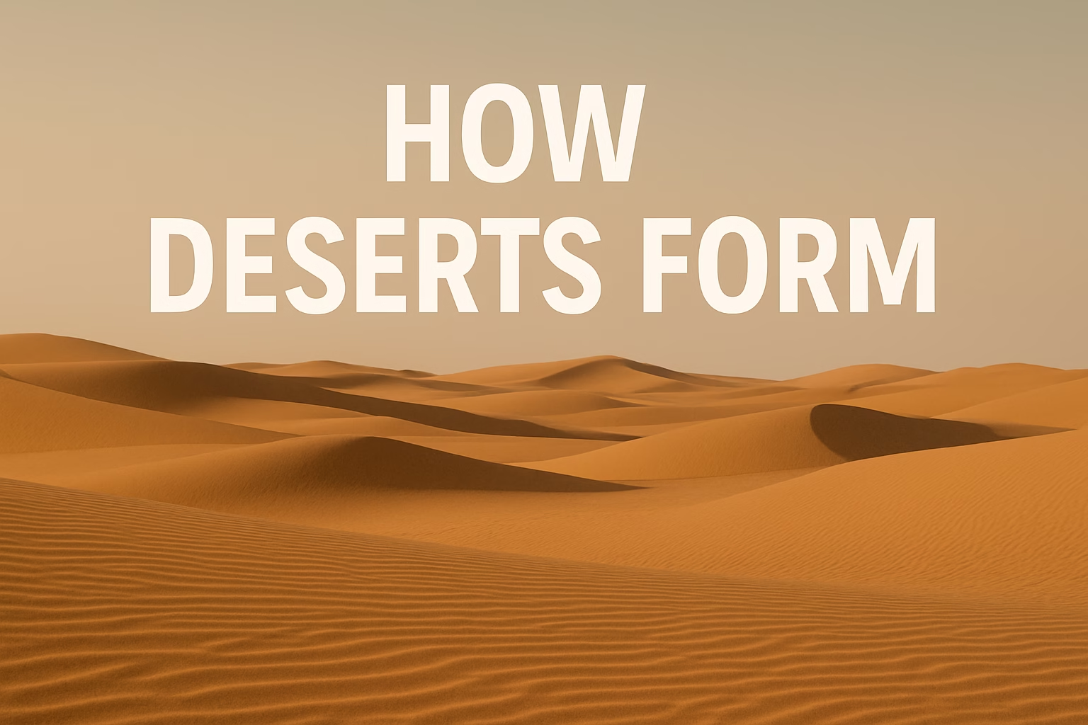
When people picture a desert, they usually imagine endless sand and blazing heat, but the real story of how these arid landscapes form is far more detailed, shaped by air, oceans, mountains and time working together.
- What Actually Counts as a Desert?
- The Core Ingredients Behind Desert Formation
- Main Natural Pathways That Create Deserts
- Subtropical High-Pressure Deserts
- Rain-Shadow Deserts
- Coastal Deserts Linked to Cold Oceans
- Continental Interior Deserts
- Polar Deserts
- Side-by-Side: Different Desert Types
- Desertification: When Land Turns to Desert
- Are Deserts Spreading?
- Why Understanding Desert Formation Matters
Quick snapshot: deserts form when air loses moisture, rain becomes rare, and the land can no longer hold on to water. The exact path is different in a coastal desert, a rain-shadow desert, or a polar desert, but the end result is the same — a dry, stressed enviroment that only the toughest life can survive.
- Very low rainfall
- High evaporation compared to precipitation
- Often thin, fragile soils
- Plants and animals with extreme adaptations
What Actually Counts as a Desert?
A region is usually called a desert when it receives less than about 250 mm (10 inches) of rain per year. It doesn’t have to be hot. Antarctica and parts of Greenland are also deserts because their air is so dry that snowfall is tiny over the long term.
The key idea is not just heat, but water balance. If more water is lost by evaporation and wind than arrives as rain or snow, the land shifts toward desert conditions. Over centuries, this slowly transforms landscapes, stripping away vegetation and changing soils.
- Hot deserts — Sahara, Arabian, Thar
- Cold deserts — Gobi, parts of Patagonia
- Polar deserts — Antarctica, inland Greenland
- Coastal deserts — Namib, Atacama
The Core Ingredients Behind Desert Formation
Deserts do not appear by chance. Several physical processes combine and keep squeezing moisture out of the air. Wherever these forces line up, you get chronic dryness and eventually a desert.
- Global wind patterns that move warm, dry air into certain latitudes
- High-pressure zones that push air downward and block clouds
- Mountain ranges that create “rain shadows” on their dry side
- Cold ocean currents chilling the air above coasts
- Distance from the sea, so moist air rarely reaches the interior
- Human activity such as deforestation and overgrazing that speeds up drying
Each desert type is built from a slightly different mix of these ingredients, like using the same spices in a new recipe.
Main Natural Pathways That Create Deserts
Subtropical High-Pressure Deserts
Many of the world’s largest deserts, like the Sahara, Arabian and Australian deserts, sit near 20–30° latitude north and south. Here, the global circulation of air creates huge belts of high pressure.
Air that rose near the equator cools, loses its moisture as heavy tropical rain, then sinks again around these latitudes as dry, warm air. Sinking air fights cloud formation. Fewer clouds mean more sunshine, more heating, and strong evaporation. Over time, soils dry, vegetation thins and a classic subtropical desert forms.
Examples
- Sahara (Africa)
- Arabian Desert (Middle East)
- Kalahari & Namib (Southern Africa)
- Great Victoria (Australia)
Common traits
- Very little rainfall
- Clear skies most of the year
- Large day–night temperature swings
- Often sandy or stony surfaces
Rain-Shadow Deserts
Mountains can create local deserts. When moist air climbs a mountain range, it cools and drops rain or snow on the windward side. By the time the air crosses the peaks and flows down the other side, it has lost most of its moisture.
The descending air on the leeward side warms and dries, blocking clouds and rain. This creates a rain shadow — a region that sits in the “dry shade” of the mountains. The Gobi Desert in Asia and deserts in the Great Basin of North America are classic rain-shadow examples.
Coastal Deserts Linked to Cold Oceans
Some deserts lie right next to the sea, which looks strange until you watch the ocean currents. Where cold currents flow along a coastline, they chill the air above them.
Cold air cannot hold much water vapor, so it becomes stable and doesn’t rise easily. Without rising air, you rarely get tall clouds or heavy rain. The result is a narrow strip of dry coastal land with fog but almost no rainfall. The Atacama Desert in South America and the Namib Desert in Africa formed this way.
Continental Interior Deserts
Some deserts sit deep inside continents, far from any ocean. Moist air from the sea has to travel a long distance, losing rain along the way. By the time it reaches the interior, there is very little moisture left.
These continental deserts often have large temperature swings between seasons. They can be hot in summer but bitterly cold in winter. Parts of the Central Asian deserts are shaped this way, combining distance from the sea with nearby rain-shadow effects.
Polar Deserts
At the poles, temperatures are extremely low, but the key is still dryness. Cold air holds almost no moisture, so snowfall is light and very slow over centuries. Combined with strong winds that remove snow and ice, this creates a landscape that behaves like a desert, just frozen.
Antarctica is one of the world’s largest polar deserts. Its interior receives less annual precipitation than many hot deserts, yet it stores ancient ice because melting is also very slow.
Side-by-Side: Different Desert Types
This simple table brings the main desert formation pathways together so you can compare them quickly.
| Type | Main Cause | Typical Location | Example |
|---|---|---|---|
| Subtropical | Downward, dry air in high-pressure belts | 20–30° N/S | Sahara, Arabian, Great Victoria |
| Rain-shadow | Mountains blocking moist winds | Leeward side of ranges | Gobi, Great Basin |
| Coastal | Cold currents stabilising coastal air | West coasts of continents | Atacama, Namib |
| Continental interior | Distance from oceans, weak moisture supply | Deep inside continents | Central Asian deserts |
| Polar | Very cold, very dry air | High-latitude ice sheets | Antarctic interior |
Different paths, same outcome: wherever air stays dry for long enough, land slowly transforms into desert.
Physical geography insight
Desertification: When Land Turns to Desert
Natural processes explain why many deserts sit where they do, but desertification is different. It happens when previously productive land becomes drier, loses vegetation, and starts to behave like a desert, often with human pressure speeding things up.
Climate variations can trigger longer droughts, yet land use choices decide how badly a region is hit. Over time, the soil itself can be damaged so much that even when rain returns, water is lost quickly as runoff or evaporation.
Main causes
- Overgrazing that removes protective plant cover
- Deforestation and fuelwood collection
- Poor irrigation causing salinisation
- Intensive farming without rebuilding soil
- Repeated off-road vehicle tracks breaking the surface crust
What happens next
- Soil structure collapses and blows away as dust
- Rain runs off instead of soaking in
- Seeds fail to germinate without shade and moisture
- Local climate becomes a bit hotter and drier near the surface
Desertification does not mean a region suddenly looks like the Sahara. It usually appears as patches of bare soil, shrinking grass cover, more dust storms, and shorter growing seasons. Detecting these early signs matters, because damage is easier to address at an early stage.
Practical takeaway: keeping vegetation cover, protecting soils, and using careful grazing and irrigation are some of the simplest ways communities can slow or prevent desertification.
Are Deserts Spreading?
In some regions, deserts are expanding as climate patterns shift and land is used more intensively. In others, restoration projects are stabilising sand, planting drought-tolerant trees and building small barriers that help water soak into the ground.
The pattern is not the same everywhere. What is consistent is the link between land management, water use and the health of drylands. If soil and vegetation are protected, even semi-arid areas can stay productive and avoid tipping into a true desert state.
Why Understanding Desert Formation Matters
Knowing how deserts form is not just a geography exercise. It helps explain where people can farm, where cities can grow, and where water stress will likely increase. It also shows why drylands are fragile and need thoughtful care, not just short-term use.
When you look at a desert on a map, you are really seeing the fingerprint of air circulation, oceans, mountains and human choices combined over thousands of years. Understanding that fingerprint makes it easier to protect life at the desert’s edge and to live with these powerful, beautiful landscapes instead of fighting against them.
