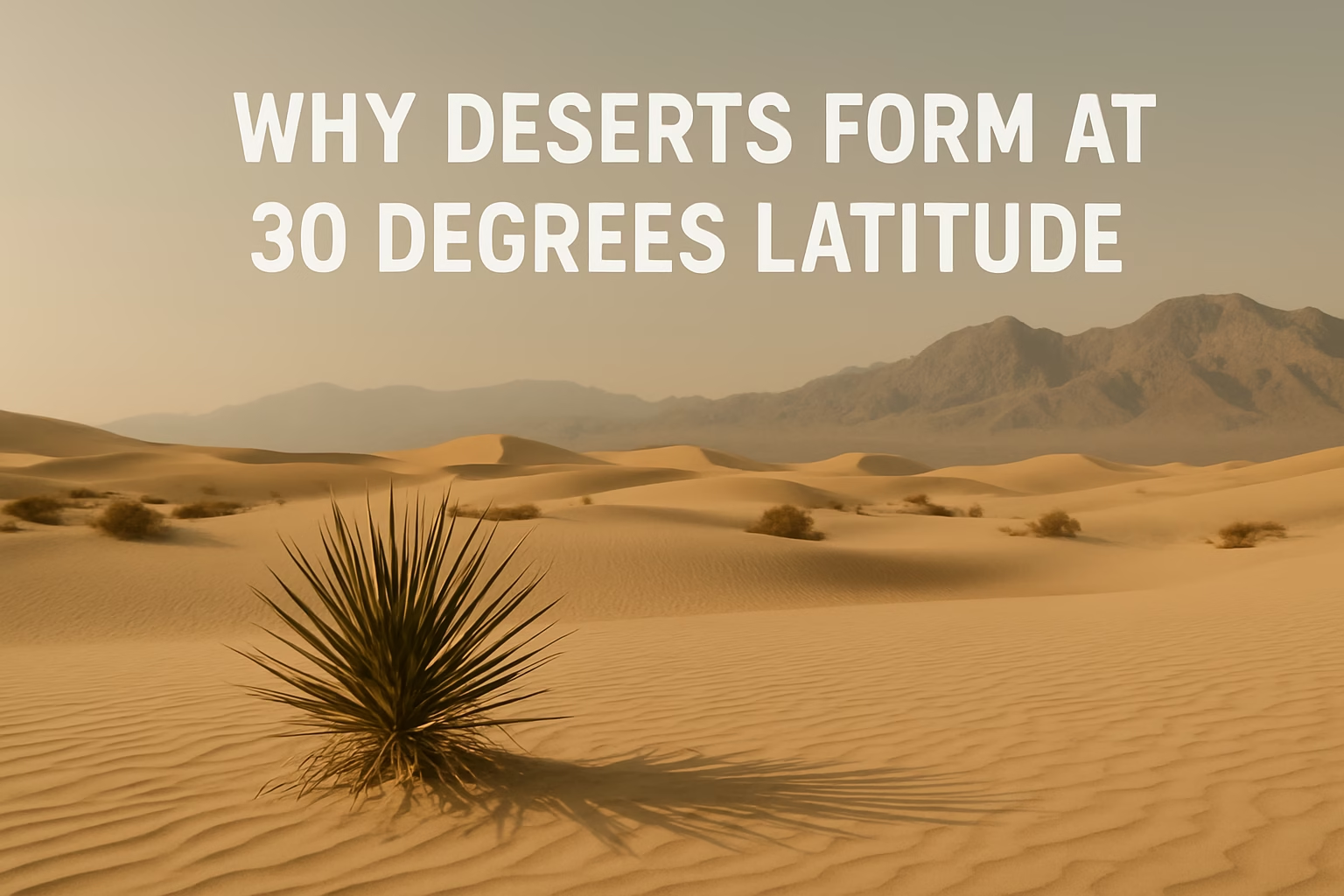
Subtropical Desert Belts Around 30° Latitude
Look at a globe and you’ll notice something curious: many of the world’s biggest deserts cluster around 30° north and 30° south of the equator. This is not random at all. It’s the result of how Earth’s atmosphere moves heat and moisture. If you’ve ever wondered “why deserts form at 30 degrees latitude”, the short answer is: descending, warming, very dry air that hangs out in those belts.
- Subtropical Desert Belts Around 30° Latitude
- Earth’s Heat Engine: Uneven Heating Starts the Story
- Hadley Cells: Giant Loops That Park Dry Air at 30°
- Subtropical High-Pressure Zones: The Dry Heart of 30°
- Famous Deserts Near 30° Latitude
- Cold Ocean Currents and Coastal Deserts
- Mountains, Rain Shadows, and the 30° Bands
- Why 30° Is a Desert Hotspot, Not a Desert Rule
- Shifting Belts: A Changing Background for Deserts
To really get it, you don’t need complex equations. You just need to follow the journey of a parcel of air from the equator to about 30° latitude, watch what happens to its temperature and moisture, and then connect the dots to subtropical high-pressure zones and how these processes create desert environments.
Earth’s Heat Engine: Uneven Heating Starts the Story
The whole pattern begins because the equator gets more solar energy than higher latitudes. Sunlight strikes the tropics more directly, which means the surface warms strongly, the air near the ground heats up, becomes lighter, and starts to rise. This rising air is the first step in the chain that explains why deserts form at 30 degrees latitude.
As that warm equatorial air rises, it carries a lot of water vapor. Higher up, the air cools, water vapor condenses into clouds, and heavy tropical rain falls. That’s why regions near the equator are usually wet, lush, and cloudy, while the air that continues on its journey away from the equator has already dumped much of its moisture.
The key point here: by the time air has risen near the equator and moved poleward aloft, it’s becoming drier. This drying process is a big part of the setup for subtropical deserts further north and south.
Hadley Cells: Giant Loops That Park Dry Air at 30°
The repeating loop that moves air from the equator to about 30° latitude and back is called a Hadley cell. You can imagine it like a huge atmospheric conveyor belt in each hemisphere. Understanding this loop is essential if you want a clear, science-based answer to why deserts form at 30 degrees latitude.
- Step 1 – Rising at the equator: Hot, moist air rises in the Intertropical Convergence Zone (ITCZ), producing heavy rain.
- Step 2 – Moving poleward aloft: That air, now much drier, flows high in the atmosphere toward about 30°N and 30°S.
- Step 3 – Sinking around 30°: Eventually the air cools enough and becomes dense, so it sinks back down in the subtropics.
- Step 4 – Returning as trade winds: Near the surface, air flows back toward the equator, twisted by the Coriolis effect into the trade winds.
That sinking branch of the Hadley cell around 30° latitude is where the magic (or the dryness, really) happens. The air there is already dry from earlier rain near the equator, and as it descends, it warms and becomes even better at evaporating moisture from the surface.
Where air sinks, skies clear. Where skies clear, deserts often form.
Subtropical desert rule of thumb
Subtropical High-Pressure Zones: The Dry Heart of 30°
Because air is sinking around 30°N and 30°S, it piles up and creates broad areas of high pressure called subtropical highs. These are stable zones where the atmosphere resists upward motion. And without rising air, it’s very hard to get cloud formation and rain.
As the air descends, it is compressed by higher pressure and warms adiabatically (simply from being squeezed). Warmer air can hold more water vapor, so its relative humidity drops even further. The result is dry, clear, often cloudless skies over much of the year in these subtropical belts.
- Dry descending air → very few clouds.
- Strong sunshine → hot days, lots of evaporation.
- Stable atmosphere → little vertical mixing, weak storms.
- High pressure dominance → rain systems tend to pass by.
Add those together and you have a perfect setup for desert climates at around 30° latitude: low annual rainfall, clear skies, big temperature swings, and long stretches of dry weather.
Famous Deserts Near 30° Latitude
Many of the best-known deserts sit right in these subtropical high-pressure belts. Their exact positions aren’t a perfect line, but they cluster strongly around 30° north and south, where the sinking branch of the Hadley cells is most persistent.
| Desert | Hemisphere | Approx. Latitude | Main Drivers |
|---|---|---|---|
| Sahara | Northern | ~20–30°N | Subtropical high, continental interior, stable dry air |
| Arabian Desert | Northern | ~20–30°N | Subtropical high, dry continental air masses |
| Kalahari | Southern | ~20–30°S | Subtropical high, seasonal shifts, interior location |
| Australian Deserts | Southern | ~20–30°S | Subtropical high, continental interior, dry air circulation |
| Atacama | Southern | ~20–30°S | Subtropical high, cold current, rain shadow |
You’ll notice that these deserts align broadly with subtropical latitudes, but local features tweak the exact position. Even with those tweaks, the overall pattern still clearly reflects why deserts form at 30 degrees latitude in the first place: sinking, warming, moisture-starved air.
Cold Ocean Currents and Coastal Deserts
Some deserts near 30° latitude get extra dryness from cold ocean currents. Off the west coasts of continents, currents like the Humboldt (Peru) Current or the Canary Current chill the air above them. Cooler air is stable and resists rising, so it hardly forms rain clouds. This reinforces the dryness already created by the subtropical high-pressure belts.
That’s why places like the Atacama Desert and parts of the coastal Namib Desert are so extremely dry. They sit where sinking subtropical air, cold coastal waters, and sometimes offshore winds all work together to limit rainfall to almost nothing. Sometimes forecasters even say it’s “too stable to rain,” which sounds a bit funny but is pretty accurate in climat term.
Mountains, Rain Shadows, and the 30° Bands
Mountains near subtropical latitudes can shape deserts by adding a rain shadow effect. Moist air blown toward a mountain range is forced up, cools, and drops most of its rain on the windward side. By the time the air crosses over to the lee side, it’s much drier and begins to descend and warm again.
When this happens inside or close to the 30° latitude belts, you get especially dry interiors. The Atacama Desert is helped by the Andes mountains, and interior deserts of western North America also owe a lot of their dryness to mountain ranges that block moisture arriving from the ocean.
- Windward side: air rises, cools, and rain falls.
- Leeward side: air sinks, warms, and dries out.
- Subtropical belt added: the background high pressure makes the dry side even drier.
This combination of rain shadows with subtropical highs helps explain why some deserts are so sharply bounded by mountain chains, yet still fit into the larger pattern of deserts clustering around 30° latitude.
Why 30° Is a Desert Hotspot, Not a Desert Rule
It’s important to remember that 30° latitude is not a strict line drawn on the ground where every location must be desert. Instead, it’s a broad subtropical zone where the sinking branch of the Hadley cells is strongest. The exact position of the dry belts shifts with the seasons and with longer-term climate patterns.
Some deserts sit a bit poleward or equatorward of exactly 30°, depending on ocean temperatures, monsoon systems, and local winds. Others are influenced more by continental interiors or rain shadows than by the Hadley circulation alone. Still, the global map makes it clear that there is a strong statistical link between subtropical high-pressure belts and where we find many major deserts.
Shifting Belts: A Changing Background for Deserts
Modern research suggests that the Hadley cells and their subtropical dry zones can slowly shift position over decades. As the climate system warms and circulation patterns adjust, the latitude bands where air typically sinks may move slightly poleward in some regions.
If that happens, it can change where semi-arid regions are found and how intense they become. Areas just outside the classic 30° belts might slowly trend toward drier conditions, while some existing deserts might see shifts in their boundaries. The basic mechanism — descending, warming, moisture-poor air — stays the same, but its exact footprint on the map can evolve.
So, when people ask “why deserts form at 30 degrees latitude?”, the heart of the answer is simple: Earth’s circulation system parks dry, sinking air there. That air warms, its relative humidity drops, clouds are rare, and rainfall is limited. Local factors like cold currents, mountains, and distance from the sea then fine-tune the picture, carving out the specific deserts we see today across our planet.
